Welcome to the North Mymms History Project

A growing collection of books, features, images, documents, and maps, collected, curated, and presented by a team of local volunteers keen to preserve the history of North Mymms
Showing posts with label National Library of Scotland. Show all posts

The 'Welham Green curve'

The scene of the Hatfield train crash
Image from The Health and Safety Laboratory
On 17 October 2000, an InterCity 225 train bound for Leeds left London King’s Cross at midday heading north on the East Coast Main Line. It passed through North Mymms travelling at 185 km/h (115 mph) before encountering the 'Welham Green curve' where it started to derail before travelling a further 1km to a point south of Hatfield. Four people died and 70 were injured.

The final report by the Office of Rail Regulation (ORR), July 2006, concluded that the "immediate cause of the derailment ... was the fracture and subsequent fragmentation of the [outer] rail on the [northbound] fast line at the Welham Green curve". The rail failure, according to the board, was due to the presence of "multiple and preexisting fatigue cracks in the rail".

Maps of south-west North Mymms

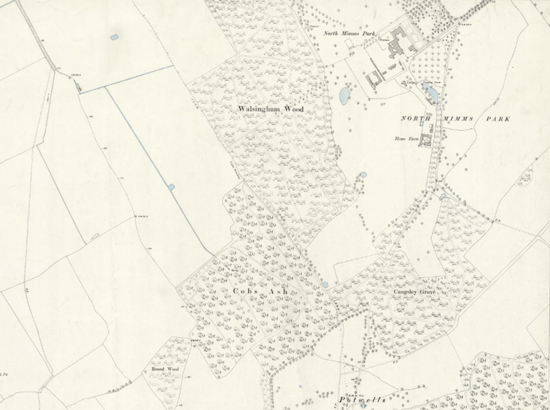
Detail of the North Mymms Park area of the 1899 OS map of North Mymms
Map courtesy of the Royal Library of Scotland
These three maps are of the south-west area of North Mymms, which include North Mymms Park and the area north of South Mimms, were published in 1899, 1920, and 1938.

Maps of south-east North Mymms

Detail from the 1898 OS map of North Mymms
Map courtesy of the Royal Library of Scotland
These four maps are of the south-east area of North Mymms including the area just above South Mimms were published in 1898, 1919, 1938, and 1946.

Maps of north-west North Mymms

Detail of the Colney Heath area of the 1899 OS map of North Mymms
Map courtesy of the Royal Library of Scotland
These four maps are of the north-west area of North Mymms including Colney Heath and Roestock were published in 1899, 1925, 1944, and 1947.

Maps of north-east North Mymms

Detail of the Welham Green area of the 1883 OS map of North Mymms
Map courtesy of the Royal Library of Scotland
These three maps are of the north-east area of North Mymms including Welham Green, Marshmoor, and Bell Bar. They were published in 1883, 1899, and 1925.

Bartholomew 'half inch to the mile' maps

Bartholomew & Sons map of Hertfordshire 1902-1906
Map courtesy of the Royal Library of Scotland
These three maps are the 'half inch to the mile' maps of Hertfordshire by John Bartholomew & Son for 1902-1906, 1919-1924, and 1940-1947.

Maps of the Mimmshall Wood area of North Mymms

Detail of the 1935 OS map of the Mimmshall Wood area of North Mymms
Map courtesy of the Royal Library of Scotland
These four maps are of the south-west area of North Mymms including Redwell Wood and Mymmshall Wood. They were produced in 1896, 1898, 1914, and 1935.

Maps of the Roestock area of North Mymms

Detail of the 1897 OS map of the Roestock area of North Mymms
Map courtesy of the Royal Library of Scotland

These three maps are of the Roestock area of North Mymms. They were produced in 1897, 1924, and 1937.

Maps of the Colney Heath area of North Mymms

Detail of the 1898 OS map of the Colney Heath area of North Mymms
Map courtesy of the Royal Library of Scotland
These three maps are of the Colney Heath area of North Mymms. They were produced in 1898, 1924, and 1937.

Maps of the North Mymms Park area

Detail of the 1896 OS map of the North Mymms Park area
Map courtesy of the Royal Library of Scotland
These three maps are of the North Mymms Park area. They were produced in 1896, 1914, and 1935.

Maps of the Little Heath area of North Mymms

The 1935 OS map of the Little Heath area of North Mymms
The 1935 OS map of Little Heath
Map courtesy of the Royal Library of Scotland
These two maps are of the Little Heath area of North Mymms. They were produced in 1914 and 1935.

Maps of the Bell Bar area of North Mymms

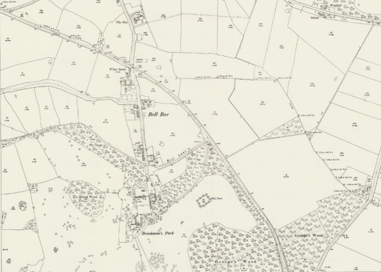
Detail of the 1898 OS map of the Bell Bar area
Map courtesy of the Royal Library of Scotland
These three maps are of the Bell Bar area of North Mymms. They were produced in 1898, 1924, and 1938.

Maps of Brookmans Park Great North Road area

Detail from the 1914 OS map of the east of Brookmans Park
Map courtesy of the Royal Library of Scotland
These two maps are of the area to the east of Brookmans Park. They were produced in 1914 and 1935.

Maps of Brookmans Park and Water End

Detail of the 1896 OS map of Brookmans Park and Water End
Map courtesy of the Royal Library of Scotland
These three maps are of the Brookmans Park and Water End area of North Mymms. They were produced in 1896, 1914, and 1935.

Maps of Welham Green and Marshmoor

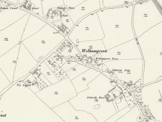
Details from the 1898 OS map of Welham Green and Marshmoor
Map courtesy of the Royal Library of Scotland
These three maps are of the Welham Green and Marshmoor area of North Mymms. They were produced in 1898, 1924, and 1937.